Columbus State University News
GIS class project helps map Chattahoochee Valley’s tech future, students’ career opportunities
July 3, 2024
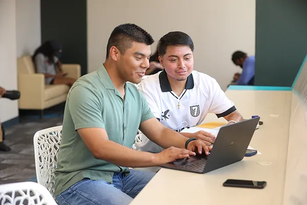
The chance to partner with the United Way of the Chattahoochee Valley flipped the script—or in this case, the syllabus—for Dr. Troy Keller’s Spring 2023 GIS course. The partnership gave students a real-world, client-based experience as they contributed directly to the city’s economic and workforce development efforts.
GIS, or “geographic information systems,” refers to a suite of varying technologies that help professionals from business to the military gather, organize, aggregate and analyze place-based data. These tools range from the common—computers, scanners, databases and printers—to the global positioning systems, or GPS, satellites in Earth’s orbit.
“If you’ve ever mapped your driving route or looked up a location on Google Earth, you’re relying on a GIS software package and information that’s pulling together data for you,” said Keller, a professor and chair of the Department of Earth & Space Sciences.
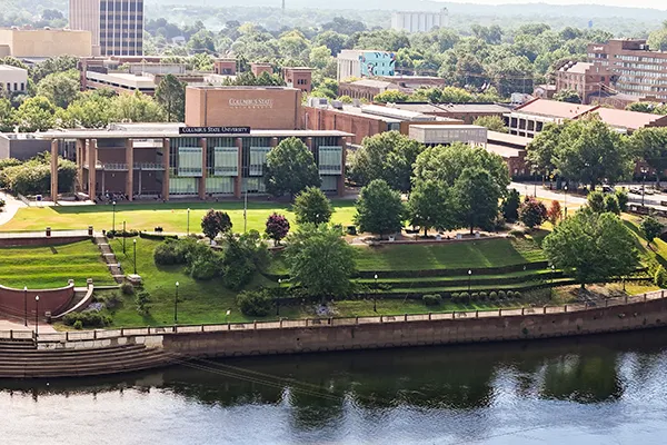
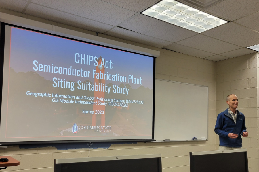
While most use mapping systems to get from Point A to Point B, Keller and his students applied it to a broader and more complex goal: siting new businesses in Columbus. Specifically, they sought to create an interactive, internet-based mapping platform that identifies potential locations for semiconductor manufacturers as part of the Chattahoochee Hub for Innovation and Production of Semiconductors—referred to as CHIPS4CHIPS, or C4C, for short.
That initiative mobilized in response to the 2022 passage of the CHIPS and Science Act. The federal act is expected to strengthen American manufacturing, supply chains and national security, the workforce and industries of tomorrow, and technology-focused research and development.
C4C seeks to establish Columbus as the Southeast’s leader in the growing U.S. semiconductor industry. Columbus State leaders are among a community-wide coalition of business, technology, education, military and civic representatives committed to building the workforce pipeline needed to support chip fabrication and advanced packaging—among other aspects of the semiconductor value chain.
MAPPING COLUMBUS’ TECH FUTURE
In January 2024, building on the foundation Keller’s students helped lay, the pioneering semiconductor start-up Micromize committed to establishing its headquarters in Columbus. It specializes in producing small energy-efficient electronics for wearable technologies and mobile devices. The company headquarters and manufacturing facility are set to initially bring 25 new jobs paying six-figure salaries to the region by 2025.
 Before the community could consider recruiting industries like Micromize, it first
had to identify where manufacturers could locate. According to Keller, that’s where
Columbus State and his class entered the story. It also led him to commission local
certified geographic information systems professional Brandon Furnish, GISP (pictured)
to co-teach the class with him.
Before the community could consider recruiting industries like Micromize, it first
had to identify where manufacturers could locate. According to Keller, that’s where
Columbus State and his class entered the story. It also led him to commission local
certified geographic information systems professional Brandon Furnish, GISP (pictured)
to co-teach the class with him.
A two-time Columbus State alumnus, Furnish ’14, ’17 works as the GIS lead for local utility provider Liberty. As a part-time lecturer in the Department of History, Geography & Philosophy, Furnish underscores GIS’ niche intersection between Earth sciences and geography. Keller also emphasized how bringing practicing professionals like Furnish into the classroom is a huge boon for students.
“[Furnish] brings real-world knowledge and he's working in the industry; he knows the industry standards,” Keller said. “Having industry experts participate in the educational process is profound for our students. They can help students acquire the skillset and experience that can be valuable to them.”
But they weren’t the only professionals guiding and advising students. Keller, Furnish and their dozen students heard the project pitch from Moser, local real estate professional Christopher Woodruff, and W.C. Bradley President and COO Pace Halter.
Keller credited the project’s success to students knowing their hard work would have direct economic and workforce development implications for the Chattahoochee Valley.
“Our students knew the stakes going into the project—that this was something that mattered; that this was going to get used,” Keller said. “They learn much better in these sorts of kinetic projects where you get your hands on the material and understand the practicality of it.”
“The greatest opportunity for our students was seeing a real scenario play out, which required them to learn several new concepts on the fly—something we frequently do in this profession,” Furnish added. “Just like other areas of [information technology], GIS is constantly changing, integrating with other systems, and evolving.”
 “Working on a real-world project and having it actually mean something was incredibly
rewarding,” said Cam Cavitt (pictured), who graduated in May 2023 with an interdisciplinary studies bachelor’s degree focused on history and GIS. “I hope we land other manufacturers that come along.
Knowing I was part of that potential feels pretty good.”
“Working on a real-world project and having it actually mean something was incredibly
rewarding,” said Cam Cavitt (pictured), who graduated in May 2023 with an interdisciplinary studies bachelor’s degree focused on history and GIS. “I hope we land other manufacturers that come along.
Knowing I was part of that potential feels pretty good.”
Making the class project-focused required Keller to rebuild his teaching plans too. He pivoted from a traditional lecture format to a self-directed learning style—and from a textbook-based final exam to a more reflective one.
“We literally threw out the curriculum and said, ‘We're not going to teach the course we always do,” Keller recalled. “I already had the course planned out day by day for the entire semester, but we decided we couldn't do that and meet [the project] goals. So, we just said, ‘We’re going to do it, and we’re going to learn together.’”
COULDN’T YOU JUST LOOK AT A MAP?
One of the benefits GIS presents is a multi-layered and interactive representation of hundreds or thousands of different data points. For a project of this scale, Keller noted a single parcel or topographical map wouldn’t do. Their project synthesized data on available parcels, topography, vegetation, soil types and erodibility, seismic tendencies, and commercial zoning—to name a few—into a digital decision-making platform.
“What our class did, you would have needed a consulting firm. The team would have included many people with many different types and levels of technical expertise—probably costing several hundreds of thousands of dollars,” Keller summarized.
Keller admitted that, while the three and a half months the students worked on the project was likely slower than a consulting firm, a made-to-order GIS model of the Columbus area isn’t an off-the-shelf project either. However, it did provide students with applied experience collaborating with real-world clients.
 CHIPS4CHIPS representatives met with the class three times during the semester to
provide students with feedback. The second one stood out for Ivy Do (pictured), a
graduate student from Columbus pursuing a master’s in natural sciences, who co-led
one of the project client updates.
CHIPS4CHIPS representatives met with the class three times during the semester to
provide students with feedback. The second one stood out for Ivy Do (pictured), a
graduate student from Columbus pursuing a master’s in natural sciences, who co-led
one of the project client updates.
“The second [of our client presentations] was a seminar-style update and an open-floor discussion for how the final product could be modified,” Do recalled. “This was the most enjoyable interaction because everyone bounced ideas around. We got a real feel for the expectations for the final product and knew we could exceed them.”
Cavitt said he and his classmates initially worked independently to develop multiple GIS solutions, which they pitched to each other—and ultimately to their clients.
“Everybody took their own routes through [the project] because, in GIS, you can take any route you want. So, while we were all working toward a common goal, we all had the flexibility to explore and experiment with different pathways and results,” Cavitt explained.
He also said the trial-and-error process strengthened his and his classmates’ ability to accept—and provide—constructive criticism.
“Everyone sees things differently and has different opinions. Sometimes someone else’s opinion is better than yours,” he recalled. “Just listening to people and taking in that feedback without getting offended was a great learning opportunity.”
He also came to understand the importance of how he communicates project and technical particulars to non-GIS practitioners.
“The project experience helped me see how I can better communicate with others about my GIS work,” he said. “Since I spent so much time working with the information we relied on for the project, I knew what I was talking about, but I had to tone down [the technical jargon] to make it easier for others to understand.”
PREPARING FOR A GIS CAREER
Keller and Furnish also pointed out that the project’s complexity required students to appreciate how important accuracy, redundancy and quality control are in a professional GIS setting. Students like Do came to appreciate how those concepts will be as important to their careers as the book knowledge and experience they were gaining.
“While I certainly felt the pressure at times because I knew the impact the project would have, more than anything else, I was excited because I knew this would be the first step that could lead to developing a fabrication facility,” Do said. “The project was truly a collaborative effort between everyone as we all worked together to find the sources for the different information we needed, troubleshooting and solving problems we ran into, and even deciding what would look the most aesthetically pleasing.”
As a GIS professional, Furnish validated how important this experience will be to students as they seek post-graduate jobs.
“Not only was this project a true reflection of professional GIS work, but it was also a task that is often taken on by a specialized team of GIS analysts with experience in suitability and predictive modeling,” Furnish said. “The tenacity students showed in learning all these new GIS skills at a minute’s notice is exactly what we look for in professionals. You want someone who can quickly learn and apply a new concept when those tasks arise—because they do, all the time.”
Cavitt leveraged his experience and new Columbus State degree into a GIS job immediately after graduation. Two weeks after starting a GIS internship with the United Way of the Chattahoochee Valley, he received a full-time job as the agency’s GIS administrator.
He continues to rely on the same types of data sources, information sorting and mapping skills he learned in the classroom to benefit the agency’s work. He sees a direct correlation between his work and United Way’s efforts to address poverty, health access, economic mobility and educational equality.
“My job is to visualize through mapping approaches the data that doesn’t or wouldn’t make sense by themselves,” Cavitt explained. “These maps make our grant applications for funding to support United Way and community programs more substantial and competitive.”
Does the project’s positive outcome mean Keller and Furnish are already “mapping” future projects like this one?
 “If another project [like this one] came about, I would have no reservations as long
as I thought it would be a challenge for our students, but not too big a challenge
that they couldn’t wrap their arms around,” Keller (pictured) said. “The secret to
our success this time was the amount of guidance and resources we received [from Moser,
Woodruff and Halter].”
“If another project [like this one] came about, I would have no reservations as long
as I thought it would be a challenge for our students, but not too big a challenge
that they couldn’t wrap their arms around,” Keller (pictured) said. “The secret to
our success this time was the amount of guidance and resources we received [from Moser,
Woodruff and Halter].”
Cavitt echoed Keller’s sentiments, saying: “If it’s the right class and the right project, really all you need is passion and determination. Everything else comes second.”
STUDYING GEOGRAPHIC INFORMATION SYSTEMS
Columbus State offers students in any major the opportunity to pursue a Geographic Information Systems certificate. The 16- to 18-hour program is designed to help students deepen their studies or career opportunities in the GIS field. GIS courses are also included in the Digital Humanities Minor, which is based in the Department of History, Geography & Philosophy.
Media contact: Michael Tullier, APR, Executive Director of Strategic Communication + Marketing, 706.507.8729, mtullier@columbusstate.edu
Related news:
Sen. Ossoff Strengthening Workforce Development Opportunities in Chattahoochee Valley (Office of U.S. Sen. Jon Ossoff, April 30, 2024)
A conversation with the CEO of computer chip maker coming to Columbus. Why here? (Georgia Public Broadcasting, Feb. 1, 2024)
Sunday Conversation: Prashant Patil talks about Micromize, a tech startup company
he will bring to Columbus (WRBL-TV, Jan. 30, 2024)
Semiconductor manufacturer, ‘Micromize,’ coming to the Chattahoochee Valley (WTVM-TV, Jan. 26, 2024)
Computer chip maker coming to Columbus. Why the industry is important to national
security (Ledger-Enquirer, Jan. 25, 2024)